Augmented Reality
INSTAR's augmented reality research explores how spatial computing and human-computer interaction can extend scientific perception and operational capability. We investigate XR systems that make invisible phenomena tangible — overlaying computed data onto physical environments for research, specialized training, and collaborative scientific work across distances.
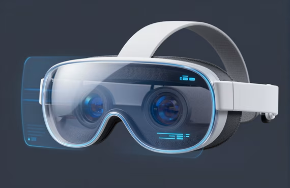
AR Display & Optics Research
INSTAR investigates optical see-through and video see-through display architectures, examining tradeoffs in field of view, weight, latency, and brightness that govern professional usability. Research interest spans waveguide design, holographic optical elements, and display-stack integration — the physical bottlenecks that determine whether AR headsets can support extended fieldwork, clinical settings, or precision laboratory environments.
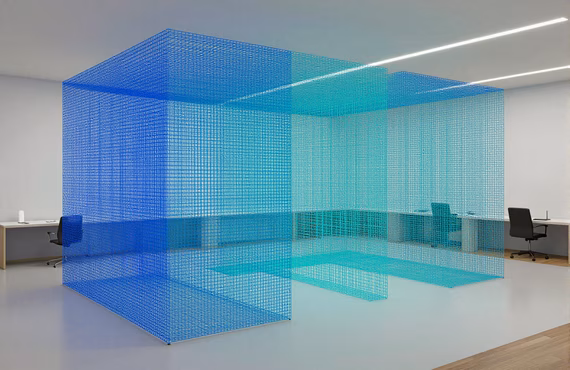
Spatial Computing & Scene Understanding
Effective AR depends on precise, persistent understanding of physical space. INSTAR's spatial computing research examines real-time 3D mapping, visual-inertial localization, LiDAR sensor fusion, and semantic scene representation — the stack required to reliably anchor digital content in dynamic, uncontrolled environments. We explore how these capabilities enable shared, multi-user AR sessions for distributed research teams and remote scientific collaboration.

Scientific Visualization & Human Interaction
INSTAR studies how AR interfaces can transform the way researchers engage with complex scientific data — molecular structures, neuroimaging volumes, geospatial terrain models, and high-dimensional simulation outputs. We investigate natural interaction modalities including gesture, gaze, and voice that match the exploratory workflows of domain scientists. The goal is human-computer interaction design that reduces cognitive load and accelerates insight without imposing engineering overhead on the researcher.

Collaborative & Training Applications
AR's public benefit case is strongest in applications where presence and co-location matter but are impractical — specialized training, remote expert guidance, and distributed team experimentation. INSTAR examines AR interaction designs for these contexts: sharing annotated physical specimens, reviewing 3D models across geographically separated sites, and conducting supervised laboratory procedures with remote instructors. This work connects directly to INSTAR's Fellowship program, where early-career researchers from physics, cognitive science, and computer science investigate the boundaries of XR-enabled collaboration. Interested PhD graduates are invited to apply at /fellowship/.
Grounded in Open Data
INSTAR's augmented reality research is grounded in publicly available geospatial, terrain, and imagery datasets that enable reproducible, transparent science. By building on open data infrastructure, our AR systems can be independently validated and extended by the broader research community.
The National Map / USGS 3DEP
High-resolution 3D Elevation Program (3DEP) lidar data for terrain modeling and spatial computing anchoring in AR research environments.
USGS National Geospatial ProgramNASA Open Data
Remote sensing imagery and planetary datasets used to develop and test AR scientific visualization pipelines for earth observation and space research contexts.
NASA Open Data PortalOpenStreetMap
Open collaborative geographic data supporting spatial anchoring, landmark recognition, and urban AR navigation research scenarios for field deployments.
OpenStreetMapData.gov
U.S. federal open data catalog providing environmental, infrastructure, and public-domain imagery datasets for validating AR applications in public-benefit research contexts.
Data.govOUR PARTNERS

For Researchers
Join the INSTAR Fellowship
The INSTAR Fellowship is an open citizen-scientist program — no minimum degree required, selection based on fit with our research culture. Structured mentorship, interdisciplinary scope, and the freedom to pursue hard problems.